Trip Map
Explore the complete Mount Yong Yap via Rengil route in Google Earth, featuring the full trail system, ridgeline progression, elevation profile, key waypoints, campsites and summit approach—everything you need for confident trip planning.

Lojing Highland System • Tuel Corridor Mountain Trip
Yong Yap via Pos Tuel is a short-distance route with a high-output elevation profile. Crossing Berhid and Aler ridges, the trail compresses multiple climbs into a single push, making it a powerful training ground for endurance and vertical gain conditioning in the Titiwangsa range.
Explore the complete Mount Yong Yap via Rengil route in Google Earth, featuring the full trail system, ridgeline progression, elevation profile, key waypoints, campsites and summit approach—everything you need for confident trip planning.
45 km 4WD approach through deep Lojing Highlands terrain before reaching the trailhead, setting the tone for a remote expedition.
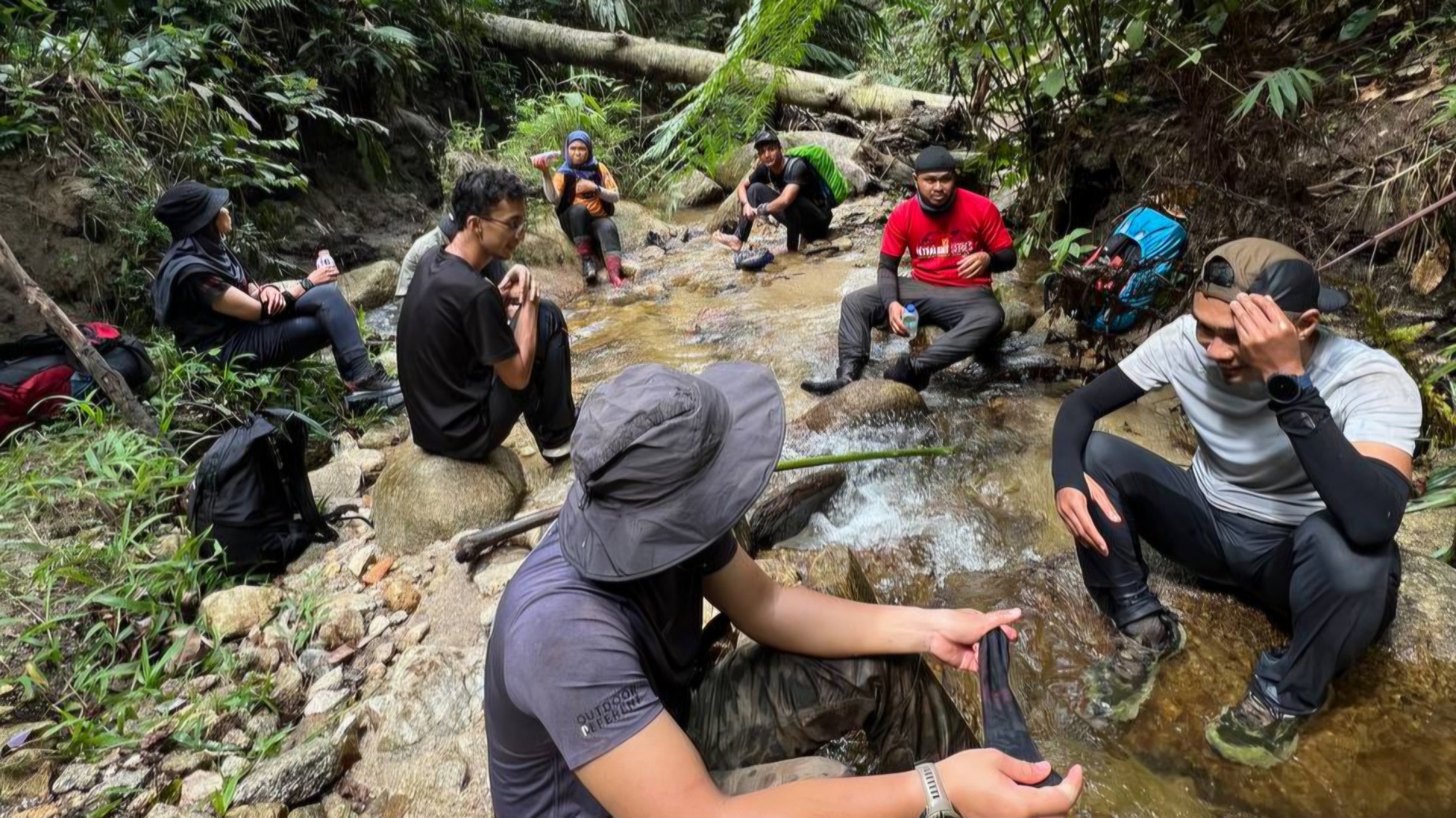
Short in distance but intense in output, the 9.5 km ascent delivers sustained elevation gain with minimal recovery sections.
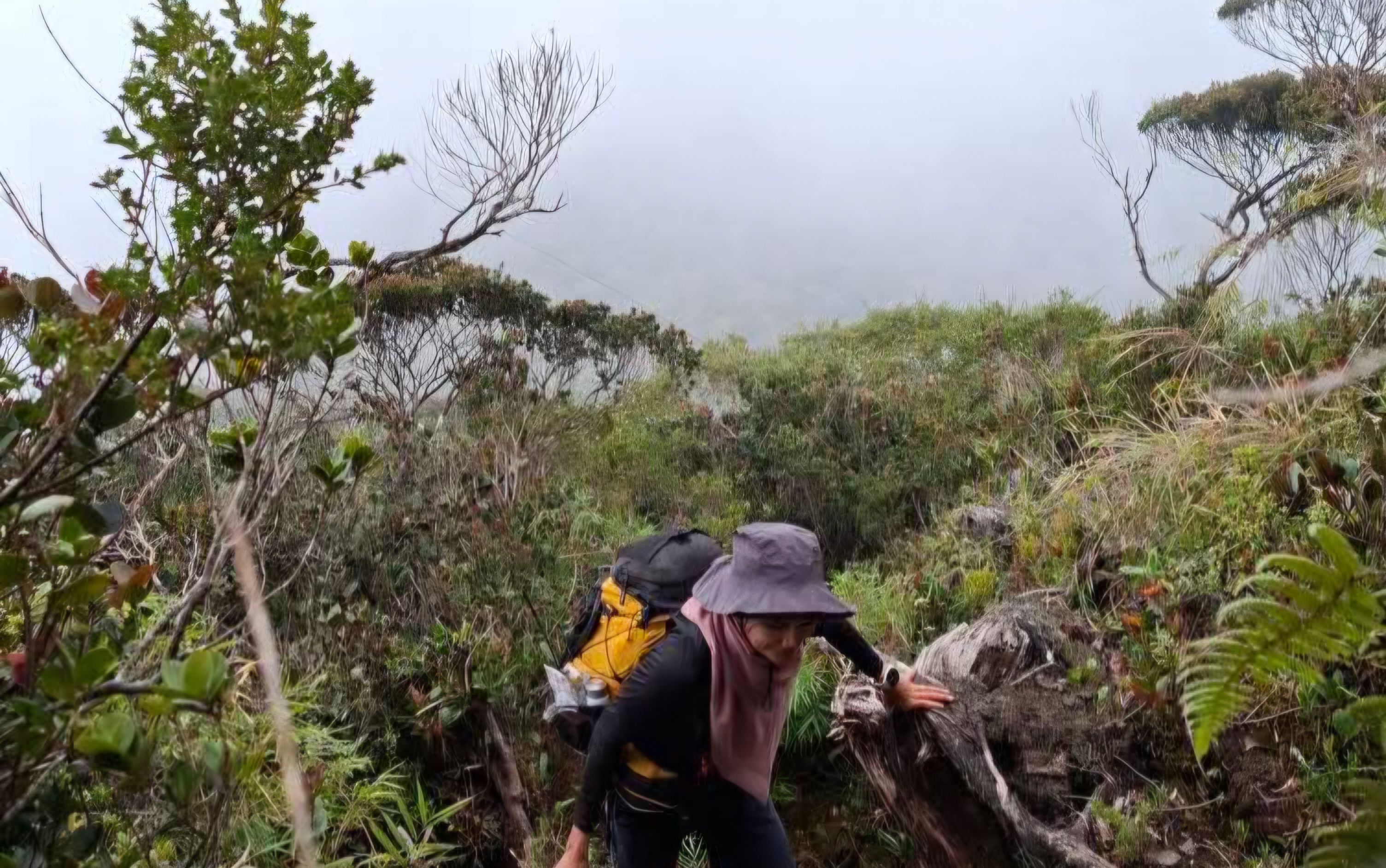
Trail transitions into dense montane moss forest, with cooler air, heavy canopy, and persistent highland mist shaping the environment.
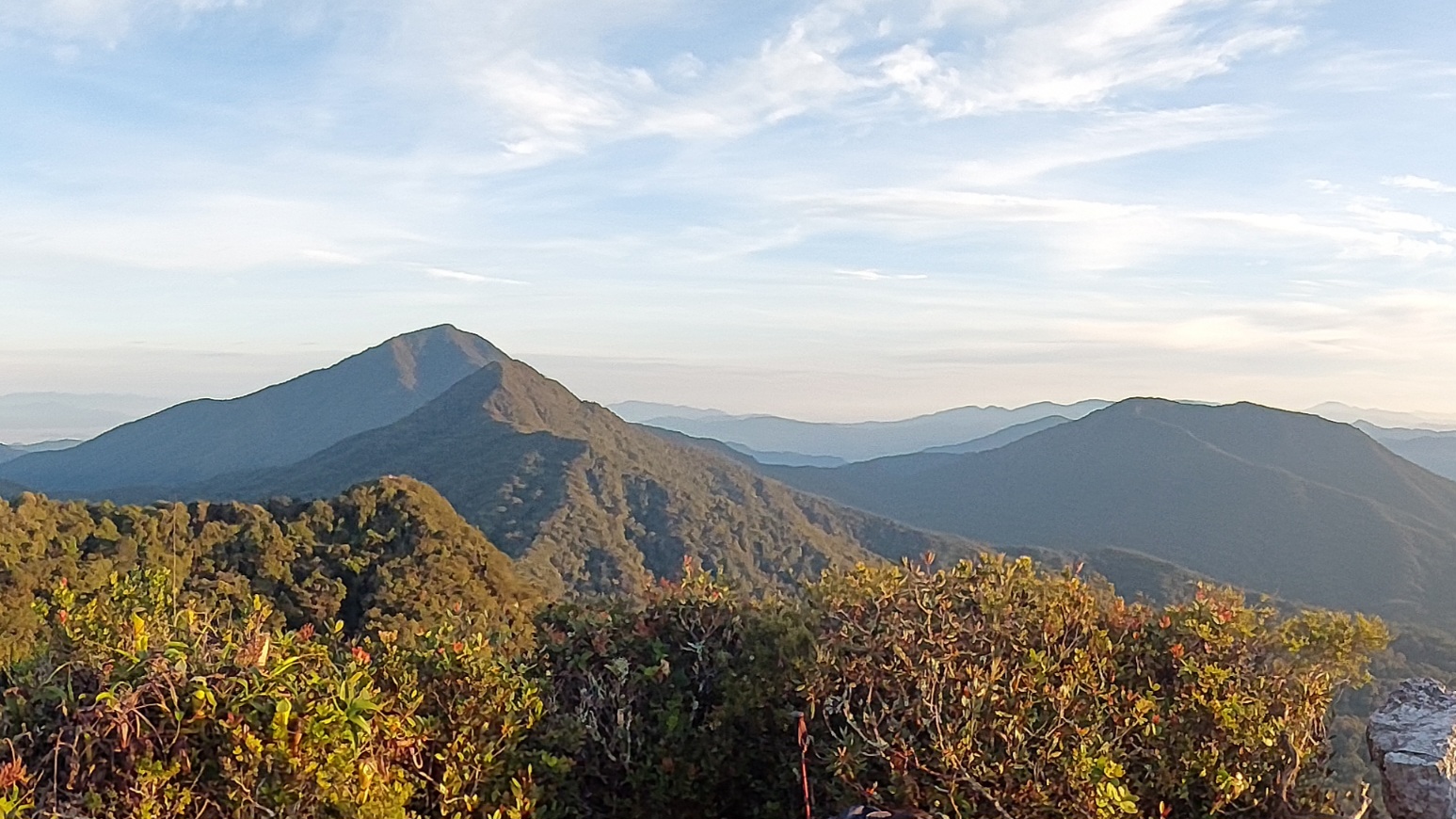
Success depends on steady pacing and energy management, as continuous gradient builds cumulative fatigue over time.

Experience the RAWPEAK Spine System across Malaysia’s central mountain range.
BOOK EXPEDITION