Trip Map
Explore the complete Mount Yong Yap via Rengil route in Google Earth, featuring the full trail system, ridgeline progression, elevation profile, key waypoints, campsites and summit approach—everything you need for confident trip planning.

Lojing Highland System • Rengil Corridor Mountain Trip
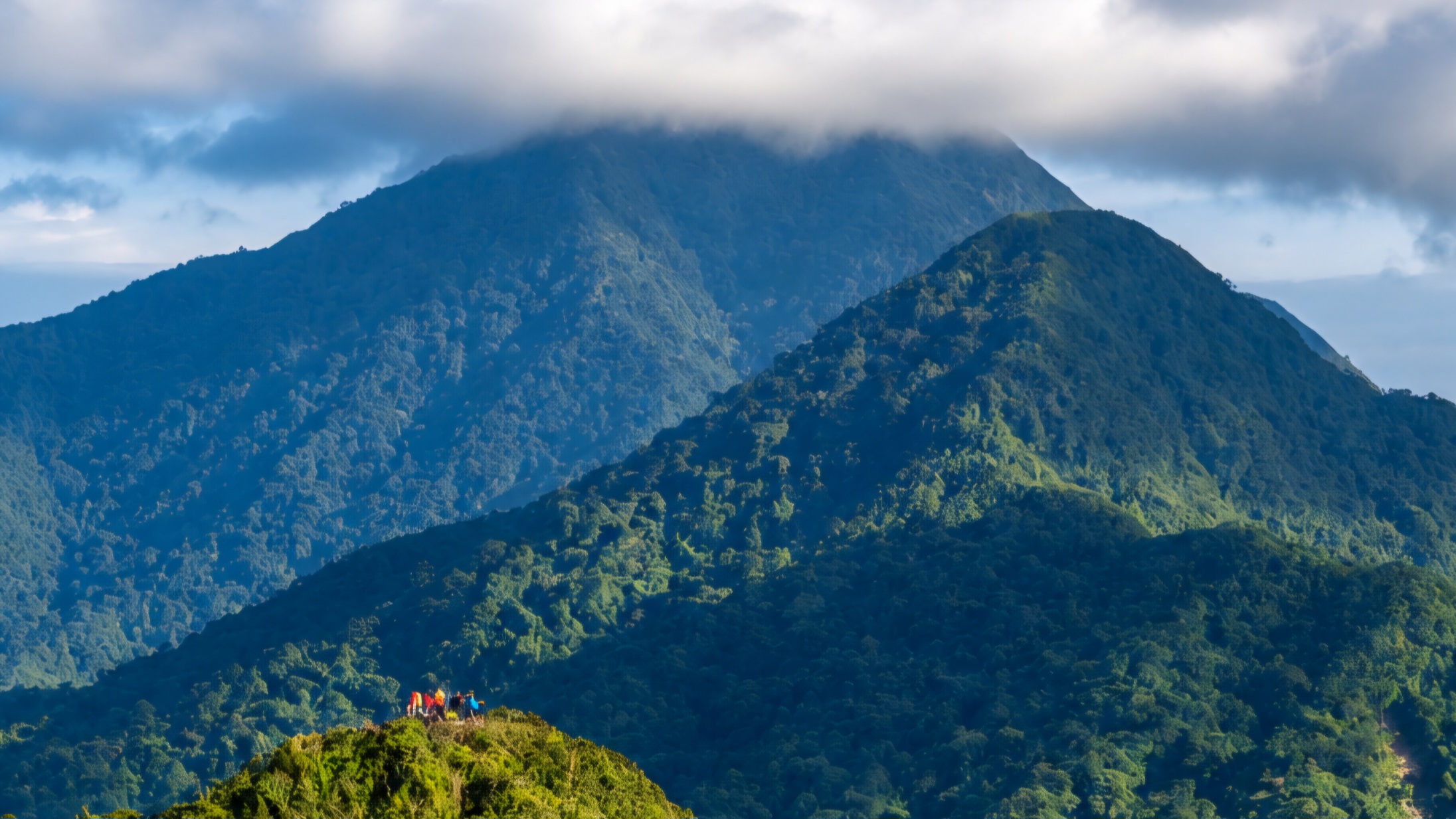
Mount Yong Yap via Rengil follows one of the longest wilderness approaches within the Lojing Highland System. The expedition traverses remote montane forest, prolonged ridgelines and extensive moss forest before reaching the 1,841-metre summit. Rather than steep technical terrain, the route rewards endurance, consistency and self-sufficiency across one of the quietest mountain corridors in the central Titiwangsa Range.
Explore the complete Mount Yong Yap via Rengil route in Google Earth, featuring the full trail system, ridgeline progression, elevation profile, key waypoints, campsites and summit approach—everything you need for confident trip planning.
The expedition begins deep within the Rengil Corridor, where a remote forest approach marks the transition into one of the most isolated mountain systems in the Lojing Highlands.
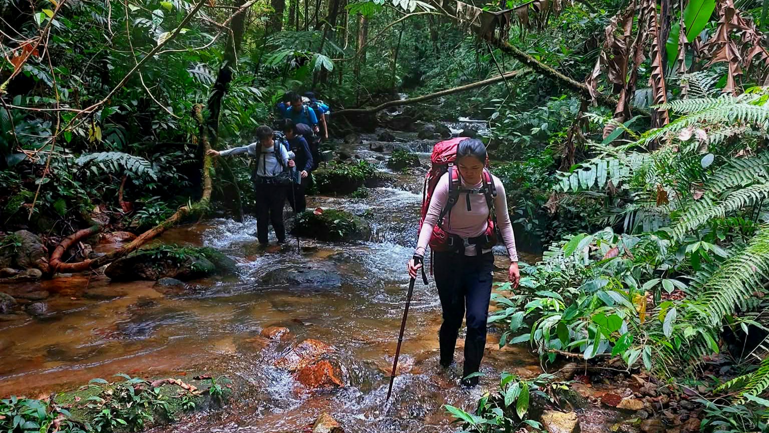
Long, uninterrupted climbs through mature montane forest demand steady pacing and endurance as the trail gradually gains elevation.
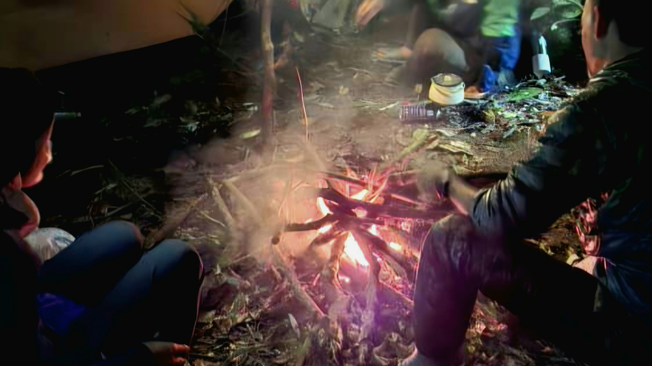
Higher elevations introduce cooler temperatures and dense moss forest, creating one of the signature environments of the Rengil Corridor.
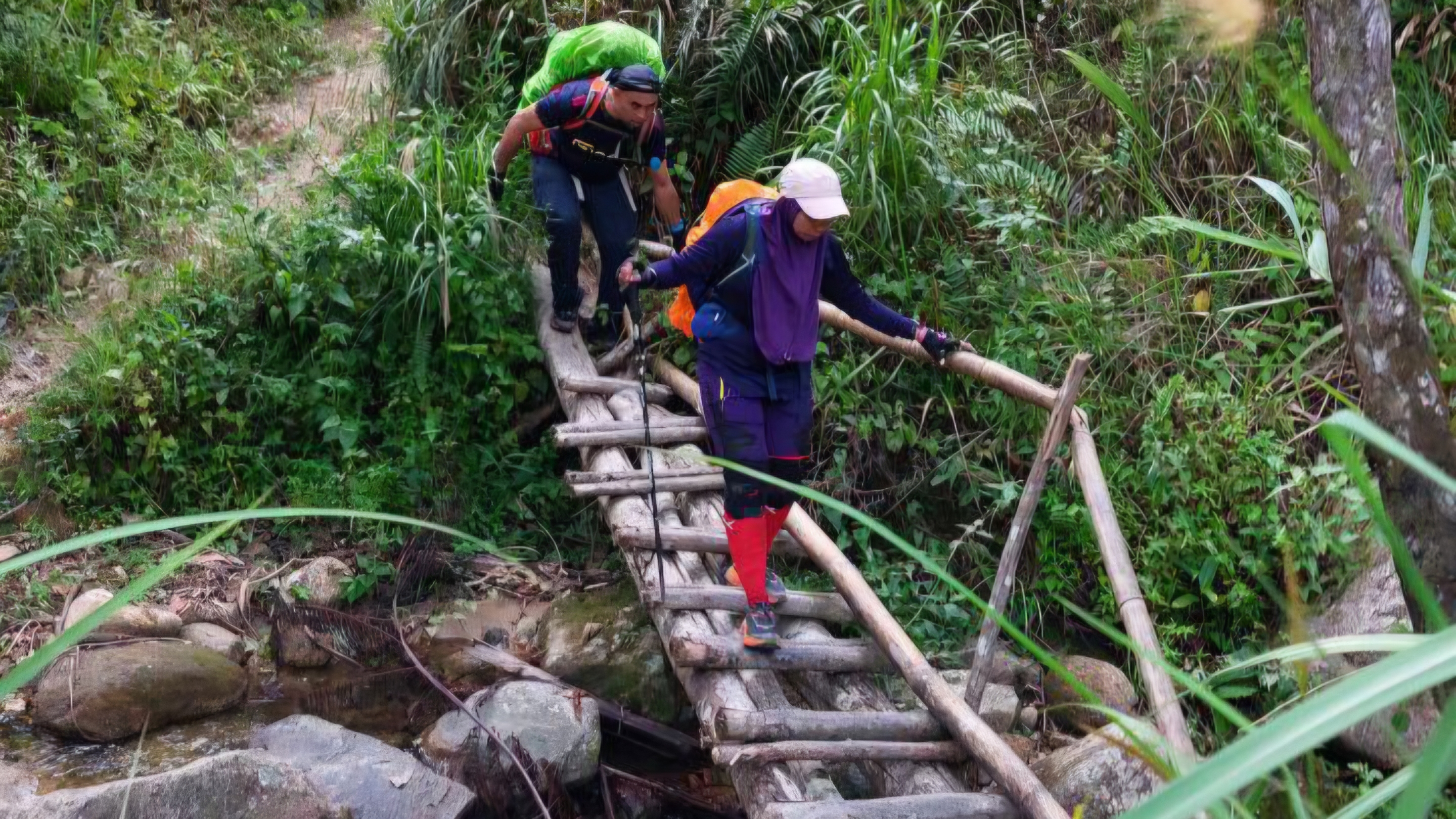
The final ascent reaches Mount Yong Yap at 1,841 metres, completing one of the most rewarding wilderness expeditions in the northern Titiwangsa Range.
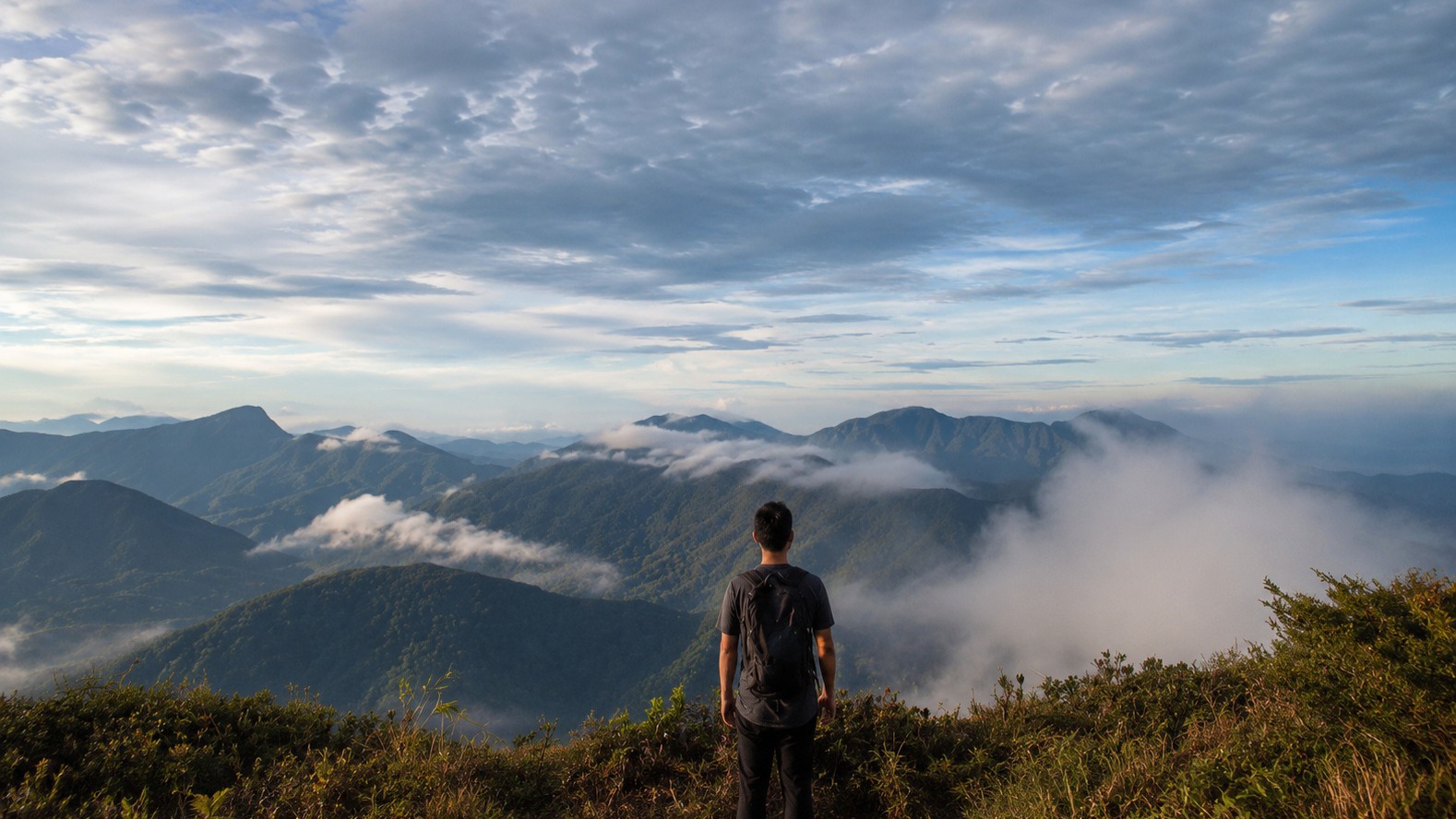
The expedition concludes by retracing the same remote corridor, completing a full wilderness mountain journey through the forests of the central Titiwangsa spine.
Experience the RAWPEAK Spine System across Malaysia’s central mountain range.
BOOK EXPEDITION