Trip Map
Explore the complete Mount Yong Belar route in Google Earth, featuring the full trail system, ridgeline progression, elevation profile, key waypoints, campsites and summit approach—everything you need for confident trip planning.

Titiwangsa Range • Yong Belar Mountain Corridor
Mount Yong Belar is one of the major peaks within the northern Titiwangsa Range. The route combines dense montane forest, long ridge movement and continuous elevation gain, creating a demanding mountain expedition experience across the highland ecosystem.
Explore the complete Mount Yong Belar route in Google Earth, featuring the full trail system, ridgeline progression, elevation profile, key waypoints, campsites and summit approach—everything you need for confident trip planning.
The expedition begins with highland approach into the Yong Belar corridor, transitioning from access trail into the remote Titiwangsa mountain environment.
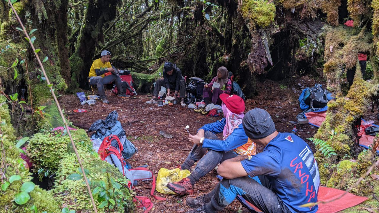
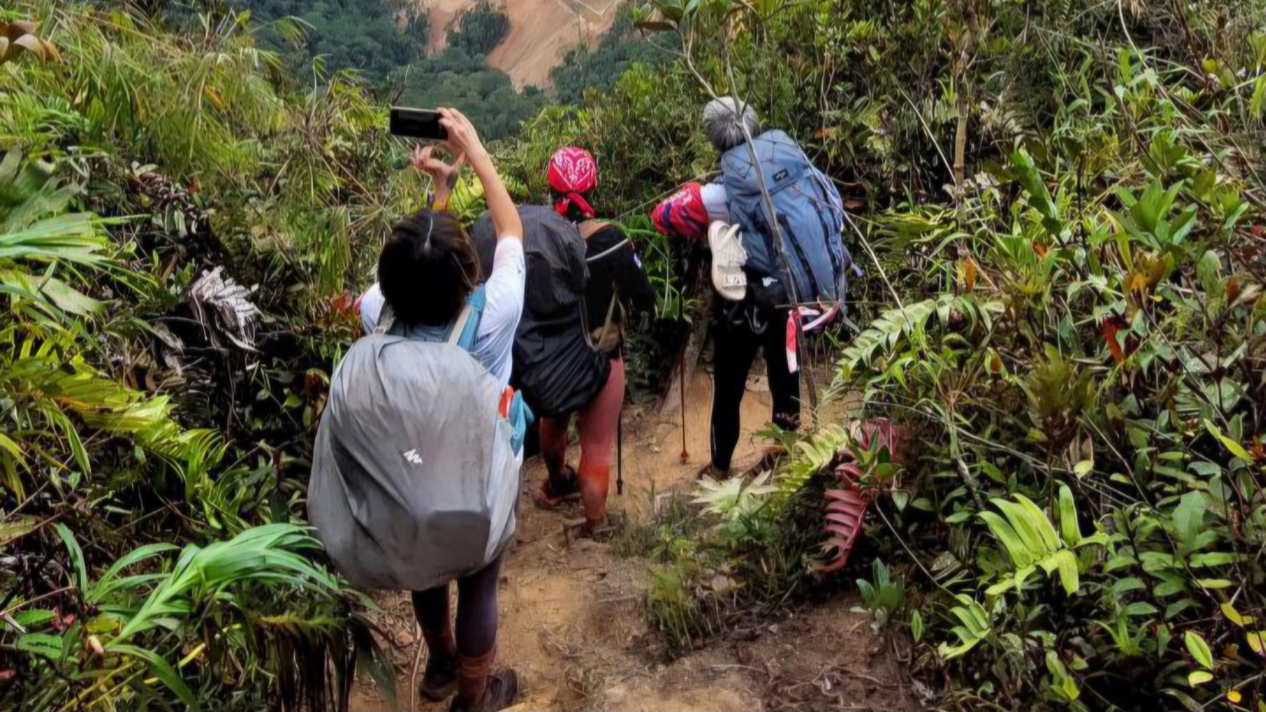
Continuous ridge movement through montane forest sections, building elevation gradually towards the upper mountain zone.
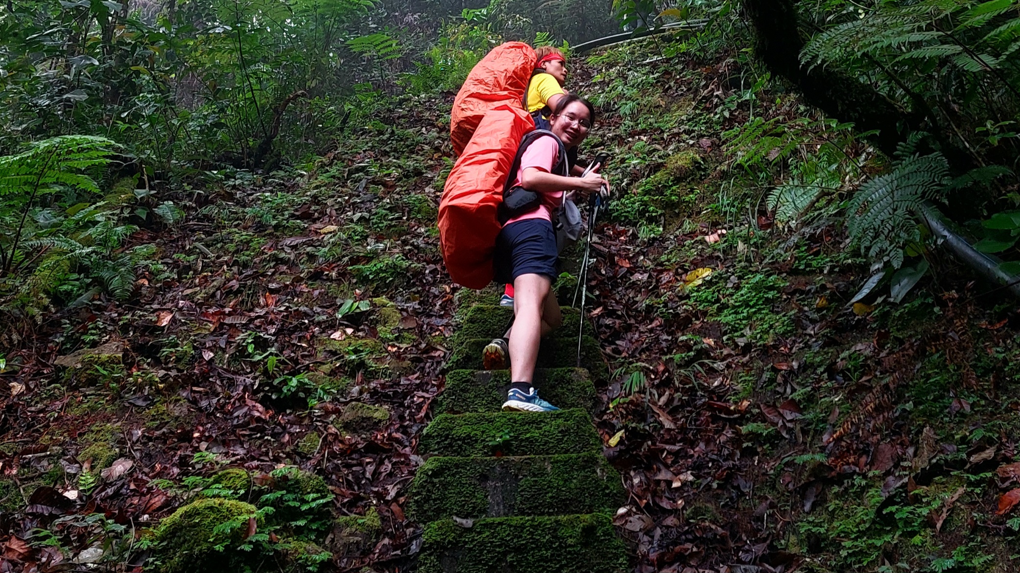
Strategic overnight staging area before the final summit push, providing recovery and preparation within the mountain corridor.
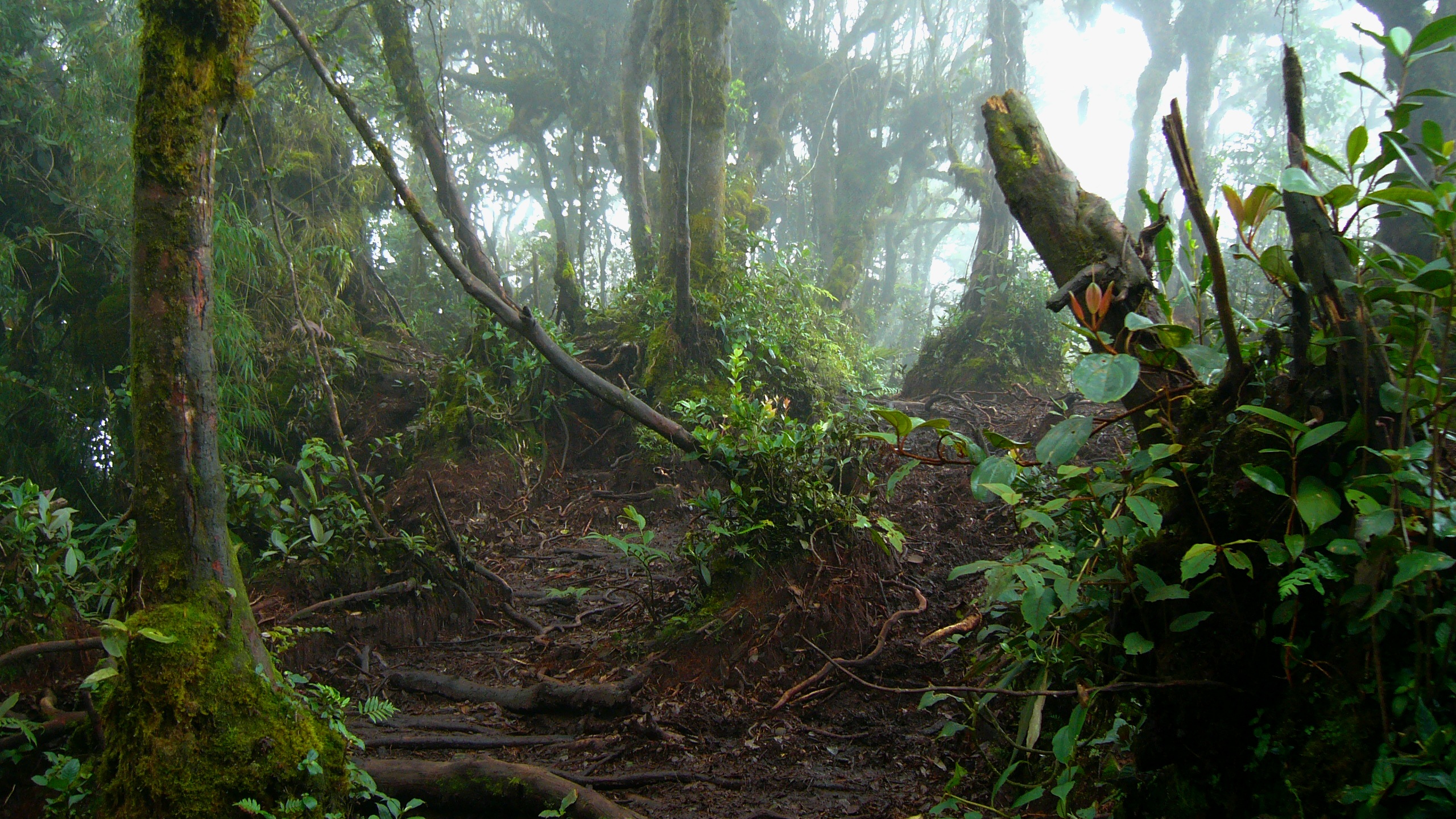
The highest point of the expedition. A final climb through moss forest terrain leading to the Yong Belar summit marker.
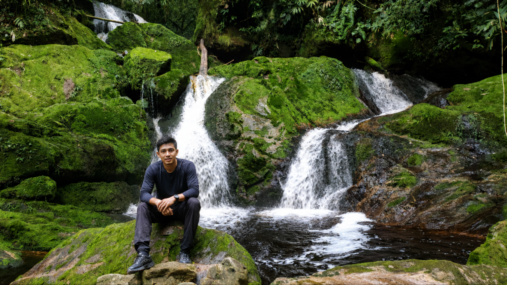
Final transition from summit zone back into lower forest terrain, completing the Yong Belar mountain expedition system.
Experience the RAWPEAK Spine System across Malaysia’s central mountain range.
BOOK EXPEDITION