EXPEDITION SYSTEM

TRANS
TITIWANGSA

VERSION 2 • FULL SPINE CROSSING

Blue Valley → Lojing • Complete Titiwangsa Backbone Traverse

7D6N
65 KM
6000M+
ELITE
SCROLL TO EXPLORE

Expedition Overview

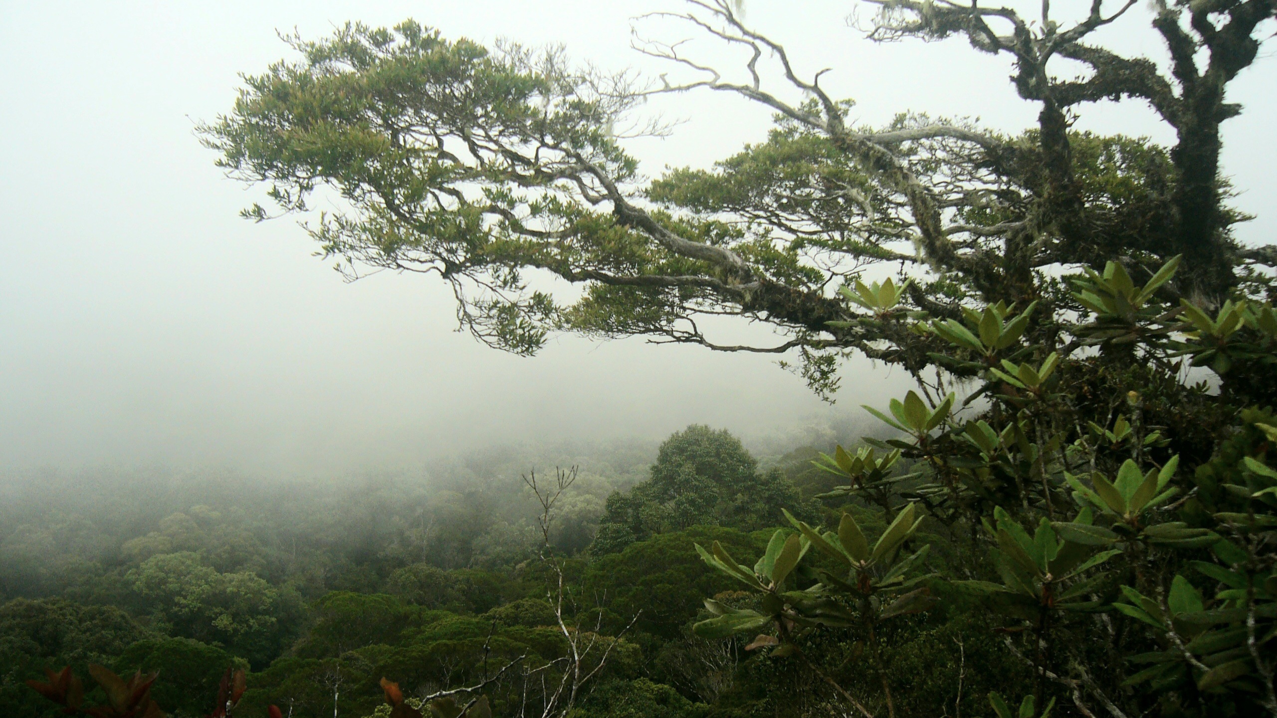
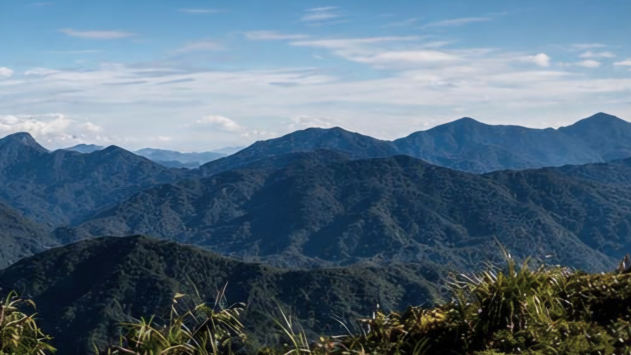
Trans Titiwangsa V2 is RAWPEAK’s flagship full-spine traverse across the central mountain backbone of Peninsular Malaysia. The route connects Blue Valley to Lojing through continuous high ridge systems, linking major G7 summits, remote junctions, and long-distance wilderness corridors into one uninterrupted expedition across the Titiwangsa Range.

Trip Profile

Region
Cameron Highlands • Lojing Highlands
System
Titiwangsa Main Range
Type
Full Spine Traverse
Major Peaks
Yong Belar • Gayong • Korbu • Yong Yap
Duration
7D6N
Distance
~65 km
Terrain
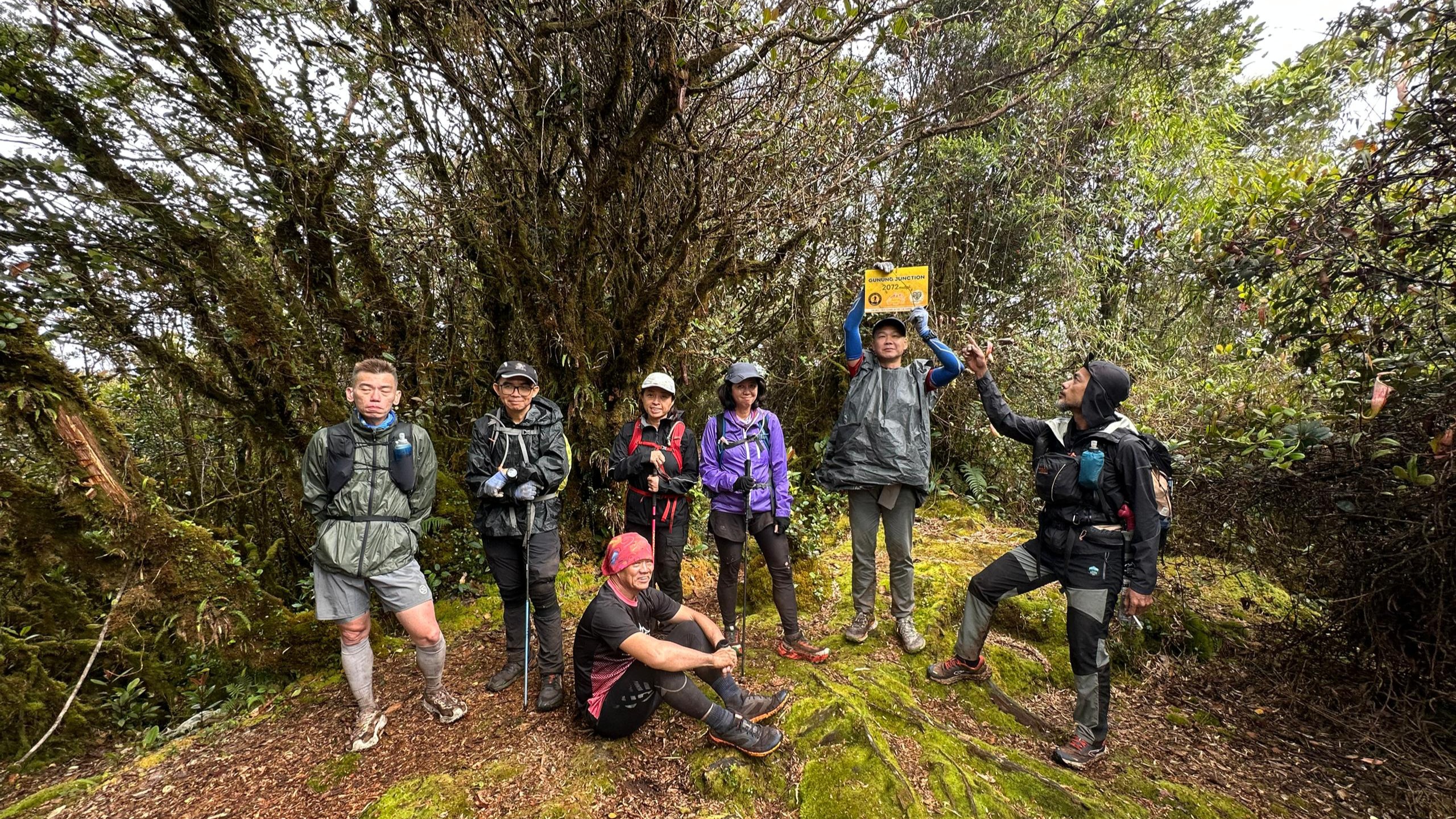
Moss Forest • Ridge Spine • Jungle Traverse
Route
Blue Valley → Lojing Exit
Guide
Mandatory

Trip Map

Explore the full Trans YB3B route in Google Earth for complete ridge breakdown, elevation flow and multi-peak traversal across the northern Titiwangsa system.

⬇ DOWNLOAD GPX 🌍 EXPLORE IN GOOGLE EARTH
INTERACTIVE ROUTE VIEW
Interactive Google Earth Route

BLUE VALLEY APPROACH

Expedition begins above Cameron Highlands. Final road access point before committing into the Titiwangsa mountain backbone system.

YONG BELAR CORRIDOR

Long sustained ascent into the first major spine system. Dense montane forest and continuous elevation gain define the opening phase.

G7 BACKBONE ENTRY

Transition into the central Titiwangsa ridge system. Gayong and Korbu emerge as part of the continuous backbone structure.

GUNUNG GAYONG

First major G7 summit in the central spine. Steep ridges and high exposure terrain dominate this section.

GUNUNG KORBU

Highest intensity physical section of the traverse. Long ridge exposure and sustained fatigue accumulation.

RETURN GAYONG LOOP

Re-entry into Gayong ridge system after Korbu crossing, maintaining backbone continuity across directional shift.

JUNCTION TRANSITION

Critical junction connecting G7 backbone into northern ridge corridors leading toward Tok Nenek system.

TOK NENEK RIDGE

Extended ridge traversal with rolling terrain and dense moss forest linking backbone system into outer corridor zones.

GUNUNG BUBU

Final summit cluster before exit system. Terrain becomes fragmented with mixed ridge and forest breaks.

YONG YAP SUMMIT

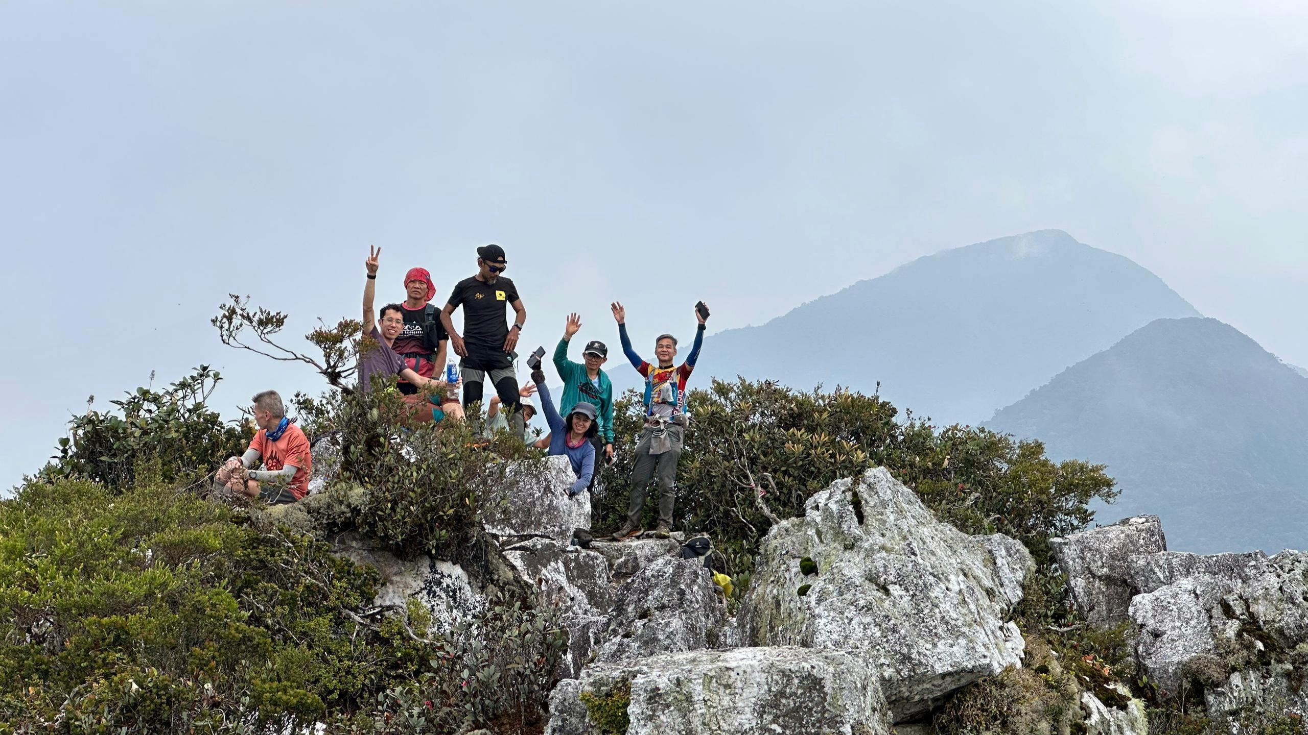
Final major summit before descent phase. Marks completion of full Titiwangsa spine crossing system.

LOJING EXIT CORRIDOR

Final descent into Lojing highlands. Expedition concludes after full backbone traversal across the Titiwangsa Range.

Expedition Complete

Experience the RAWPEAK Spine System across Malaysia’s central mountain range.

BOOK EXPEDITION