Lojing to Hulu Kinta • Multi-Day Ridge Expedition
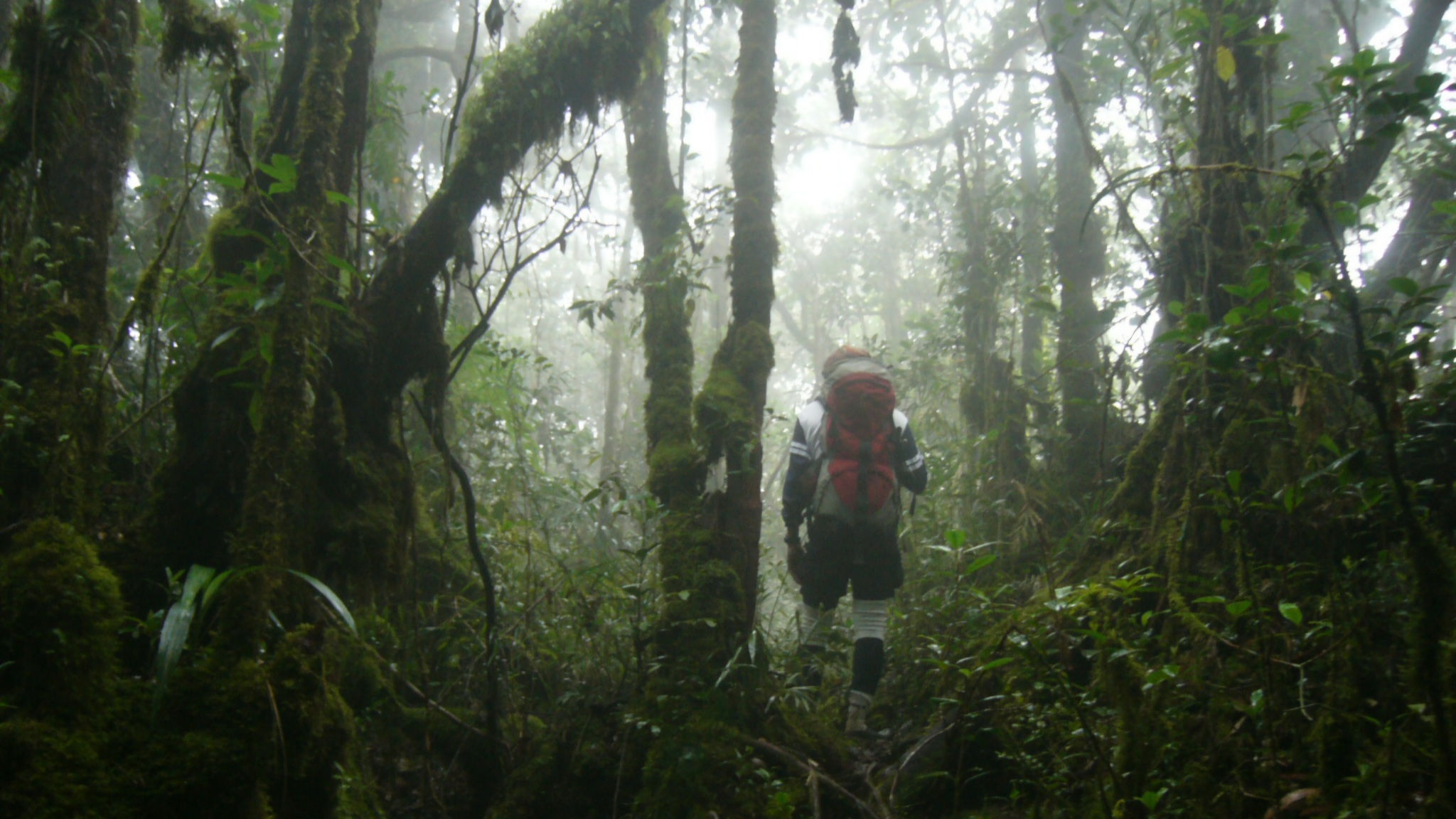
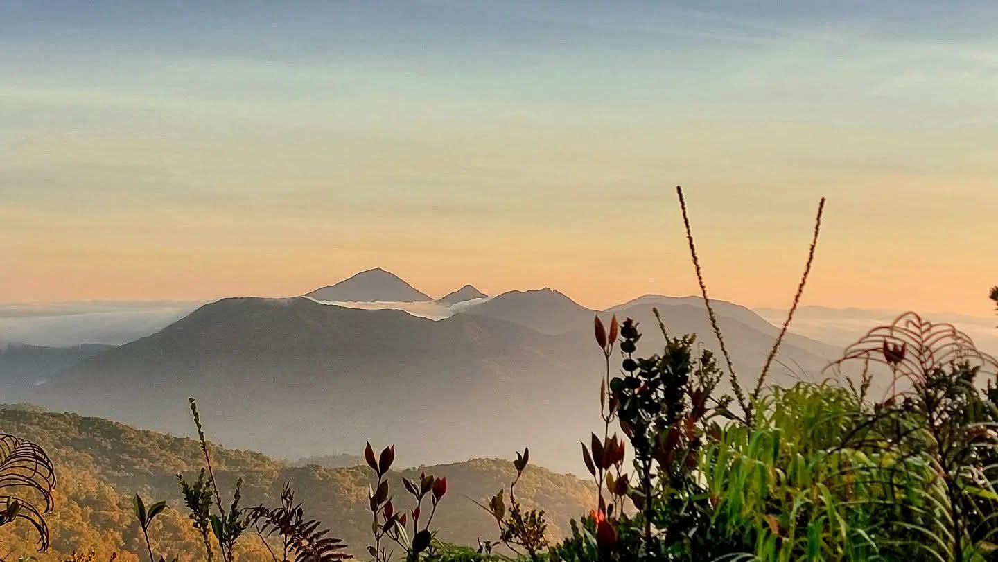
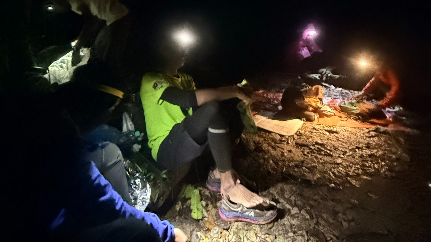
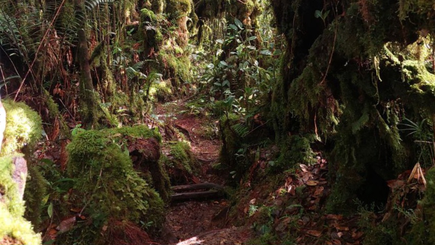
Trans Titiwangsa Version 1 is a full mountain crossing linking Lojing Highlands to Hulu Kinta through the central spine of the Titiwangsa Range. Beginning at Masjid Lojing and finishing at the Hulu Kinta Dam, the expedition traverses Yong Belar, Gayong and Korbu while passing remote camps, dense moss forests and long alpine ridgelines across one of Peninsular Malaysia's most demanding mountain journeys.
Explore the full Trans Titiwangsa Version 1 expedition in Google Earth, following the complete point-to-point crossing from Masjid Lojing to Hulu Kinta via Yong Belar, Gayong and Korbu. View the full ridge system, campsite locations, elevation profile and every stage of this iconic Titiwangsa traverse.
The expedition begins at Masjid Lojing before entering the mountain trail towards Yong Belar, marking the start of a continuous point-to-point traverse across the Titiwangsa Range.
After reaching Gunung Yong Belar, the route continues along the main ridge towards Kem Kuali through high-elevation moss forest and exposed mountain terrain.
The central expedition stage crosses Kem H20 and the Gunung Junction, where multiple mountain routes intersect before continuing south along the Main Range spine.
From Kem Cerek, the route climbs towards Gunung Gayong through steep ridges, thick cloud forest and sustained elevation gain before the final mountain section.
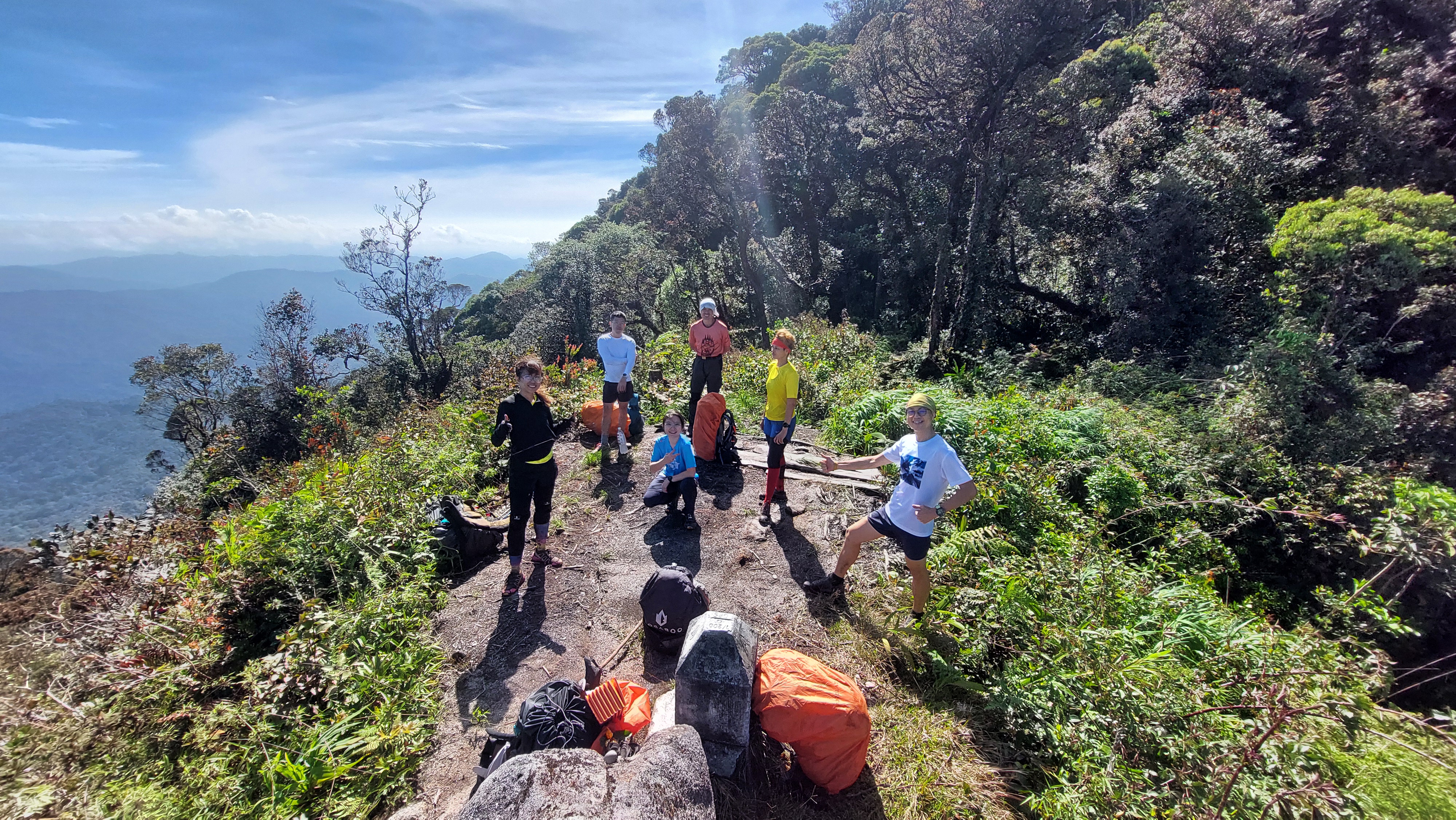
The expedition reaches Gunung Korbu before descending through the classic Korbu trail to the Hulu Kinta Dam, completing one of Malaysia's iconic long-distance mountain traverses.
Experience the RAWPEAK Spine System across Malaysia’s central mountain range.
BOOK EXPEDITION