Trip Map
Explore the complete Mount Tok Nenek route in Google Earth, featuring the full trail system, ridgeline progression, elevation profile, key waypoints, campsites and summit approach—everything you need for confident trip planning.

Rengil Corridor • Central Titiwangsa Wilderness Route
Mount Tok Nenek is a remote peak within the central Titiwangsa Range, accessed through the Lojing Highlands via the Rengil Corridor. The route is defined by sustained forest ascent, long approach sections and continuous ridge movement rather than technical climbing. It rewards endurance, steady pacing and strong mental discipline through extended time in a remote montane environment.
Explore the complete Mount Tok Nenek route in Google Earth, featuring the full trail system, ridgeline progression, elevation profile, key waypoints, campsites and summit approach—everything you need for confident trip planning.
Access begins deep in Lojing Highlands with long 4WD approach into remote forest zones.
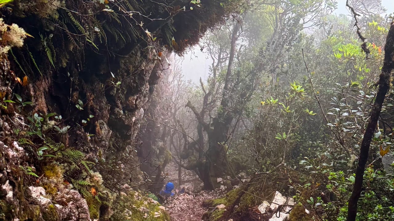
Sustained climb through dense montane forest with continuous elevation gain.
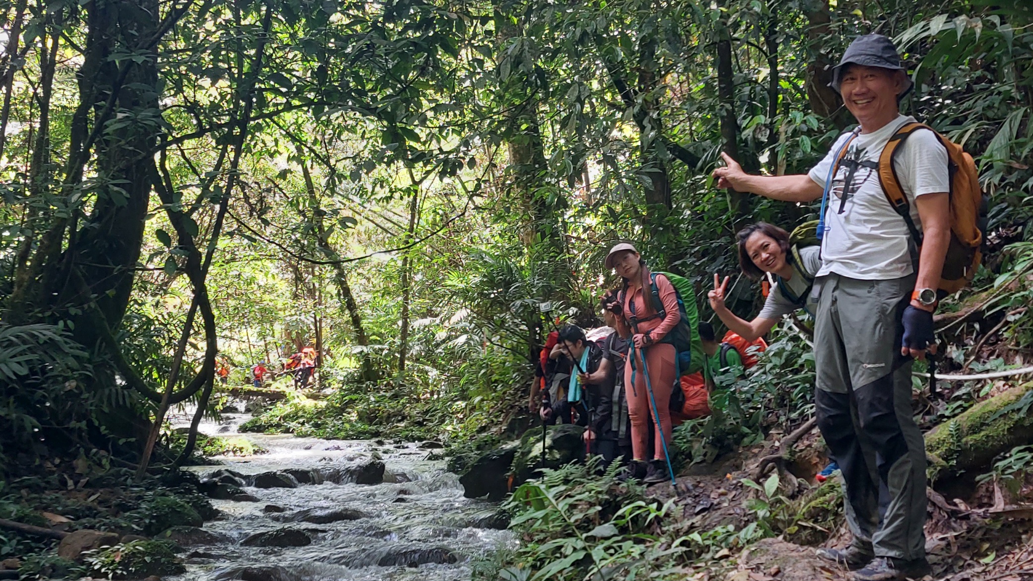
Open ridge sections with mist, wind exposure and panoramic Titiwangsa views.
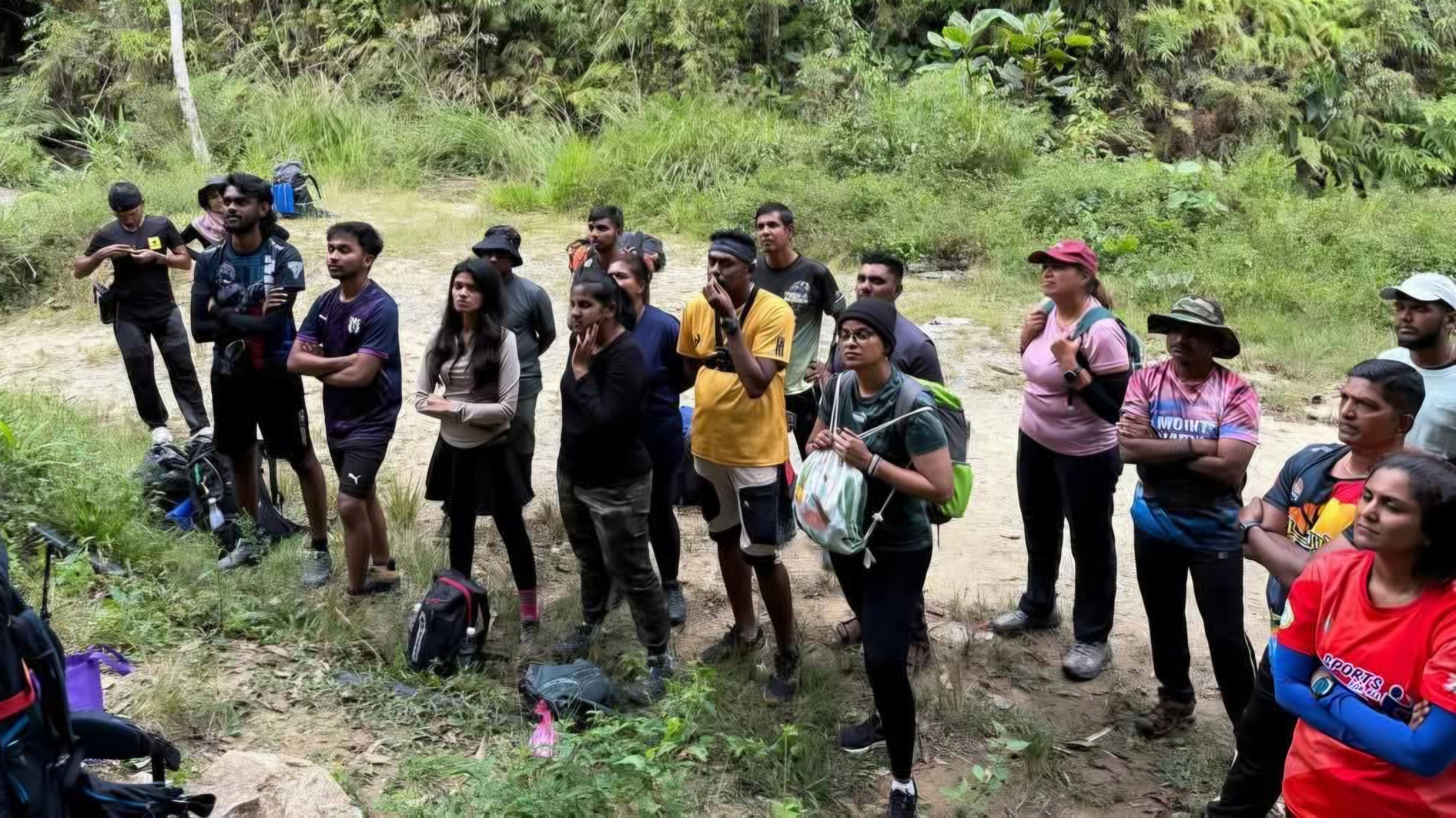
Final push to Mount Tok Nenek summit through mixed moss forest terrain.
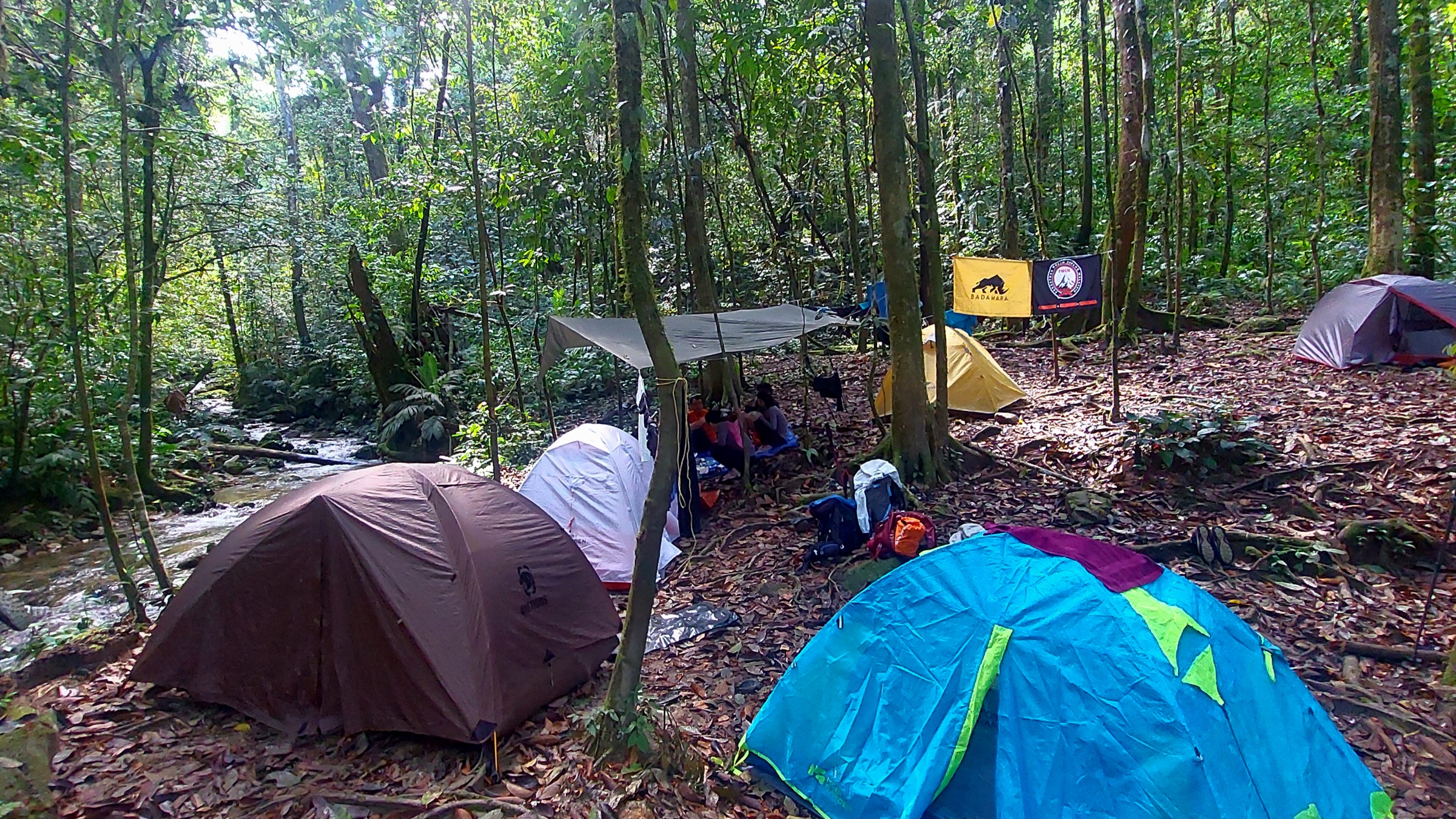
Experience the RAWPEAK Spine System across Malaysia’s central mountain range.
BOOK EXPEDITION