Trip Map
Explore the complete Mount Swettenham route in Google Earth, featuring the full trail system, ridgeline progression, elevation profile, key waypoints, campsites and summit approach—everything you need for confident trip planning.

Cameron Highlands • Main Range Mountain Trip
Mount Swettenham via Pos Brooke follows an old Orang Asli trail through pristine montane rainforest before climbing into moss forest and exposed summit ridges. The route combines long-distance trekking, sustained elevation gain and remote wilderness, offering one of the most rewarding expeditions in the Cameron Highlands section of the Titiwangsa Range.
Explore the complete Mount Swettenham route in Google Earth, featuring the full trail system, ridgeline progression, elevation profile, key waypoints, campsites and summit approach—everything you need for confident trip planning.
The expedition begins from Pos Brooke, following established Orang Asli trails through dense lowland rainforest before entering the higher mountain corridor.
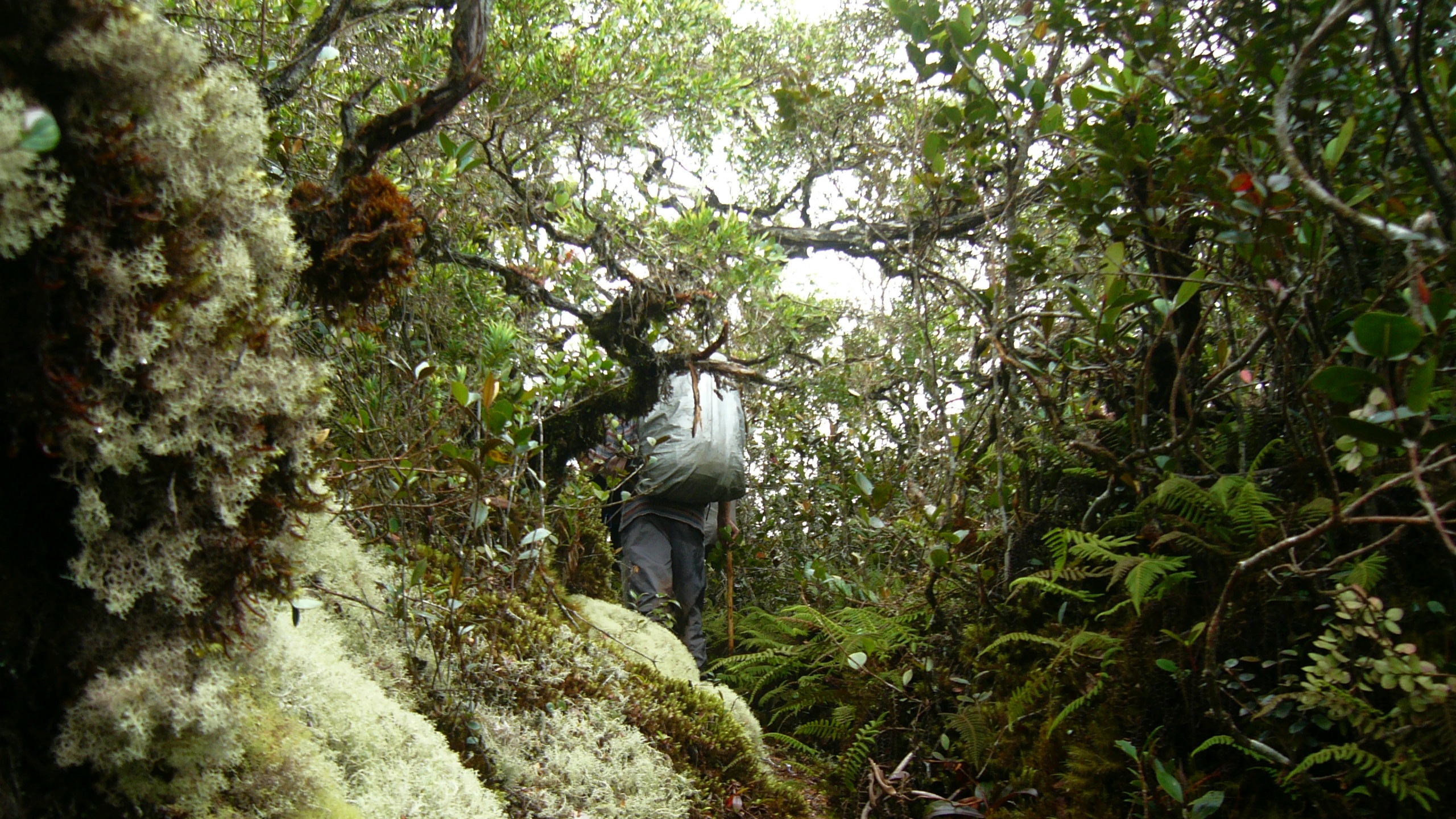
Continuous uphill sections define this stage as the trail gains elevation steadily through mature forest with increasingly cooler conditions.
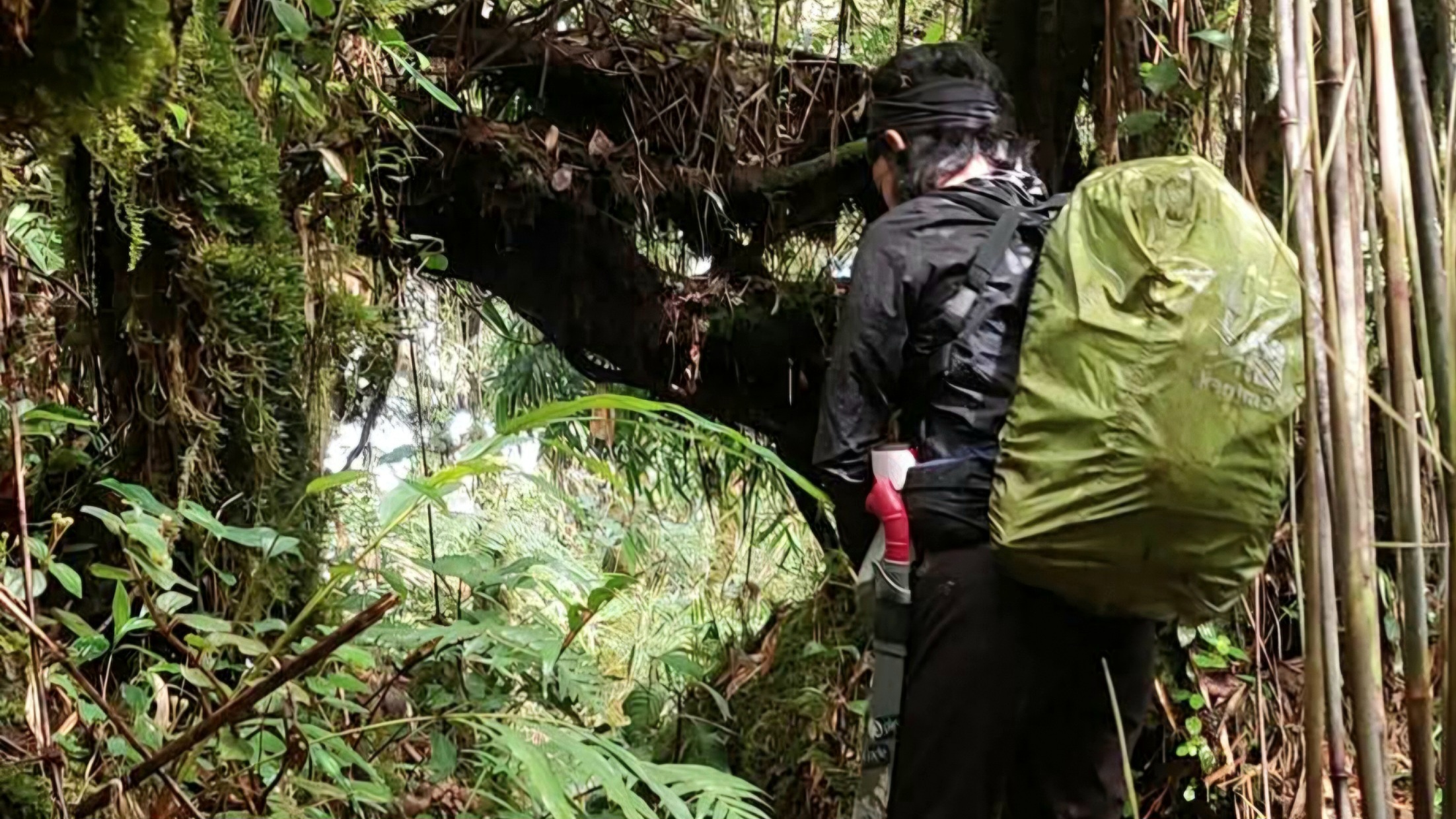
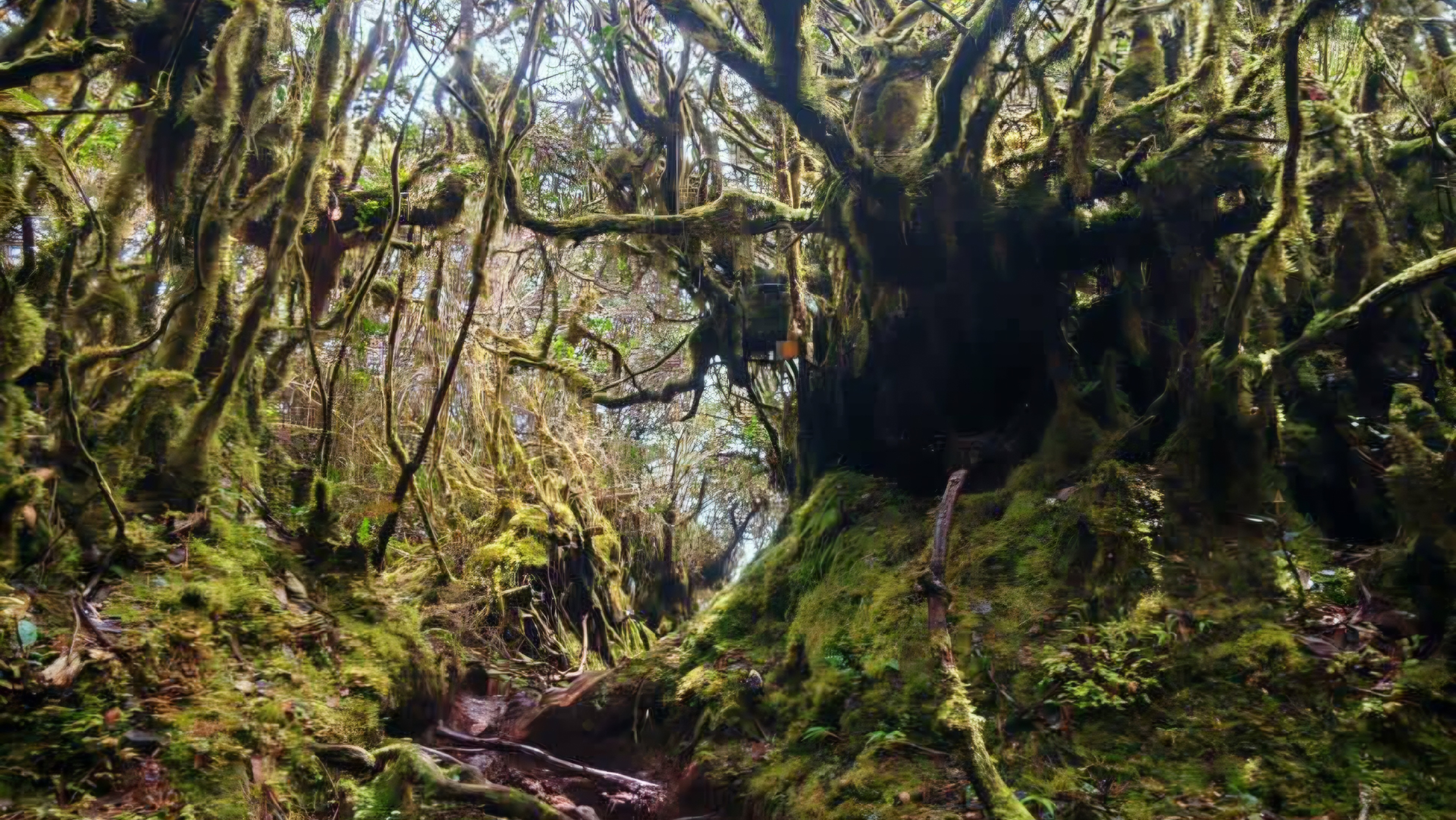
Thick moss, twisted trees and cloud forest dominate the upper mountain environment, creating one of the most scenic sections of the journey.
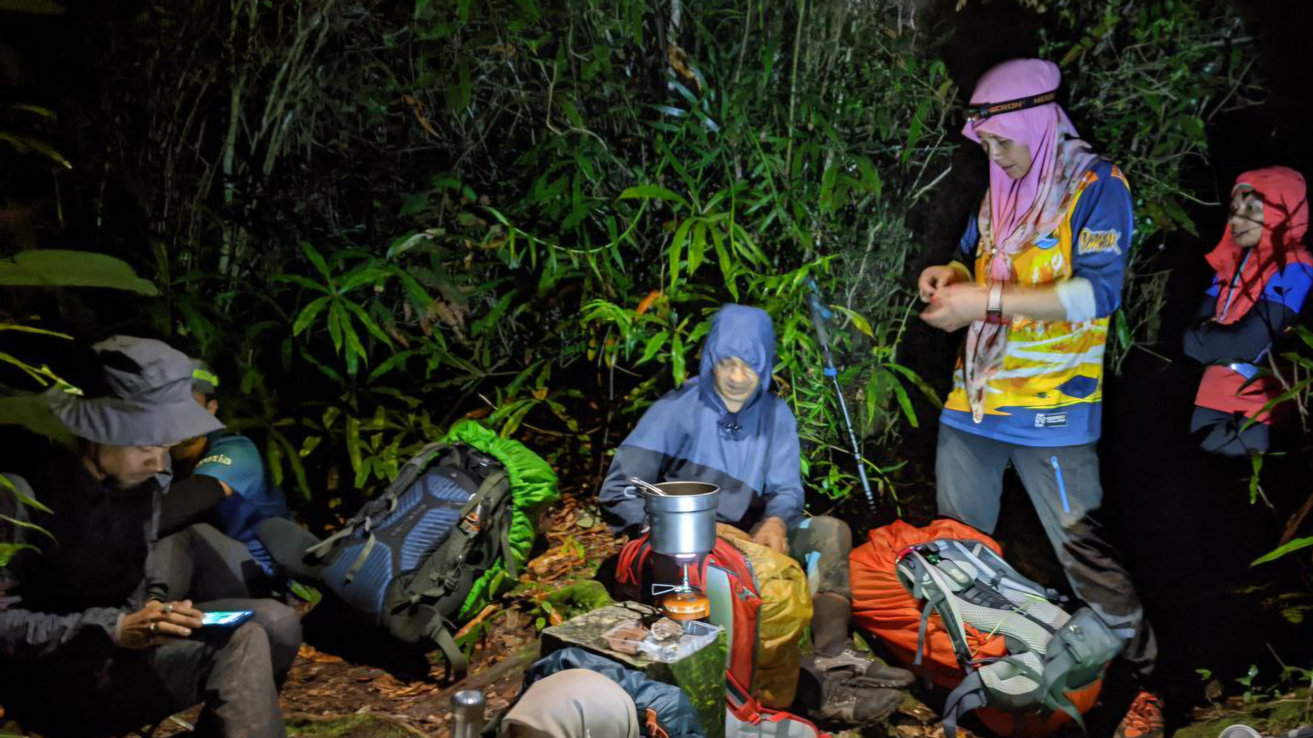
The final approach follows a narrow mountain ridge with gradual elevation gain before reaching the highest point of Mount Swettenham.
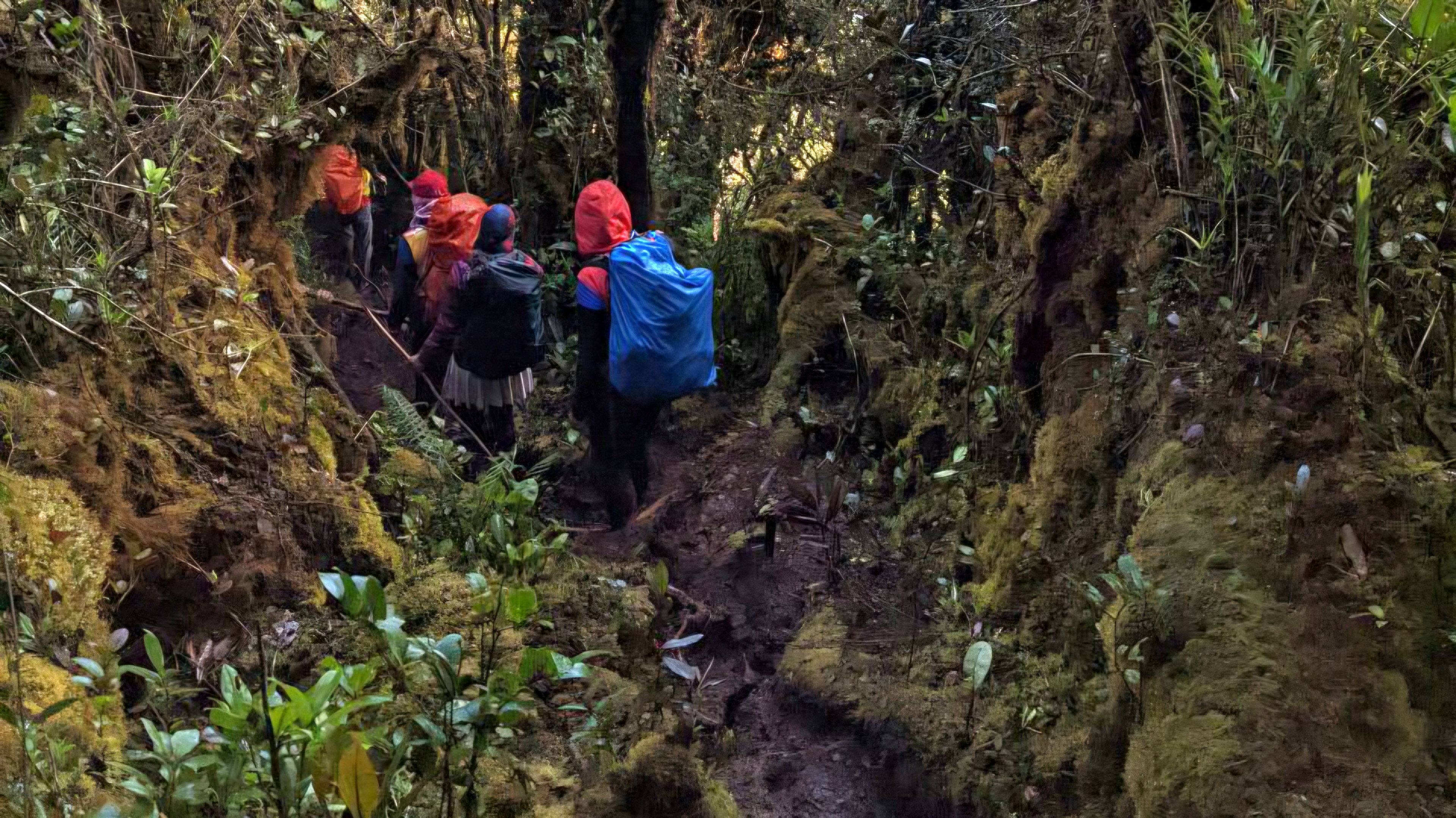
Standing at 1,961 metres, the summit marks the completion of a rewarding Cameron Highlands expedition before returning via the same trail to Pos Brooke.
Experience the RAWPEAK Spine System across Malaysia’s central mountain range.
BOOK EXPEDITION