Trip Map
Explore the complete Mount Berhid and Aler route in Google Earth, featuring the full trail system, ridgeline progression, elevation profile, key waypoints, campsites and summit approach—everything you need for confident trip planning.

Lojing Highland System • Rare Twin Summit Day Hike
Mount Berhid and Mount Aler are two lesser-known summits within the Lojing Highland System, accessed through Pos Tuel after a 4WD transfer from R&R Lojing. Despite the relatively short distance, the trail delivers steady climbing through untouched montane forest, making it suitable for both a challenging day hike and a relaxed overnight camping experience. Their remote setting and low visitor numbers make them one of the hidden mountain combinations in the northern Titiwangsa Range.
Explore the complete Mount Berhid and Aler route in Google Earth, featuring the full trail system, ridgeline progression, elevation profile, key waypoints, campsites and summit approach—everything you need for confident trip planning.
The journey begins from R&R Lojing before continuing by 4WD into Pos Tuel, where the mountain trail starts deep within the Lojing Highlands.
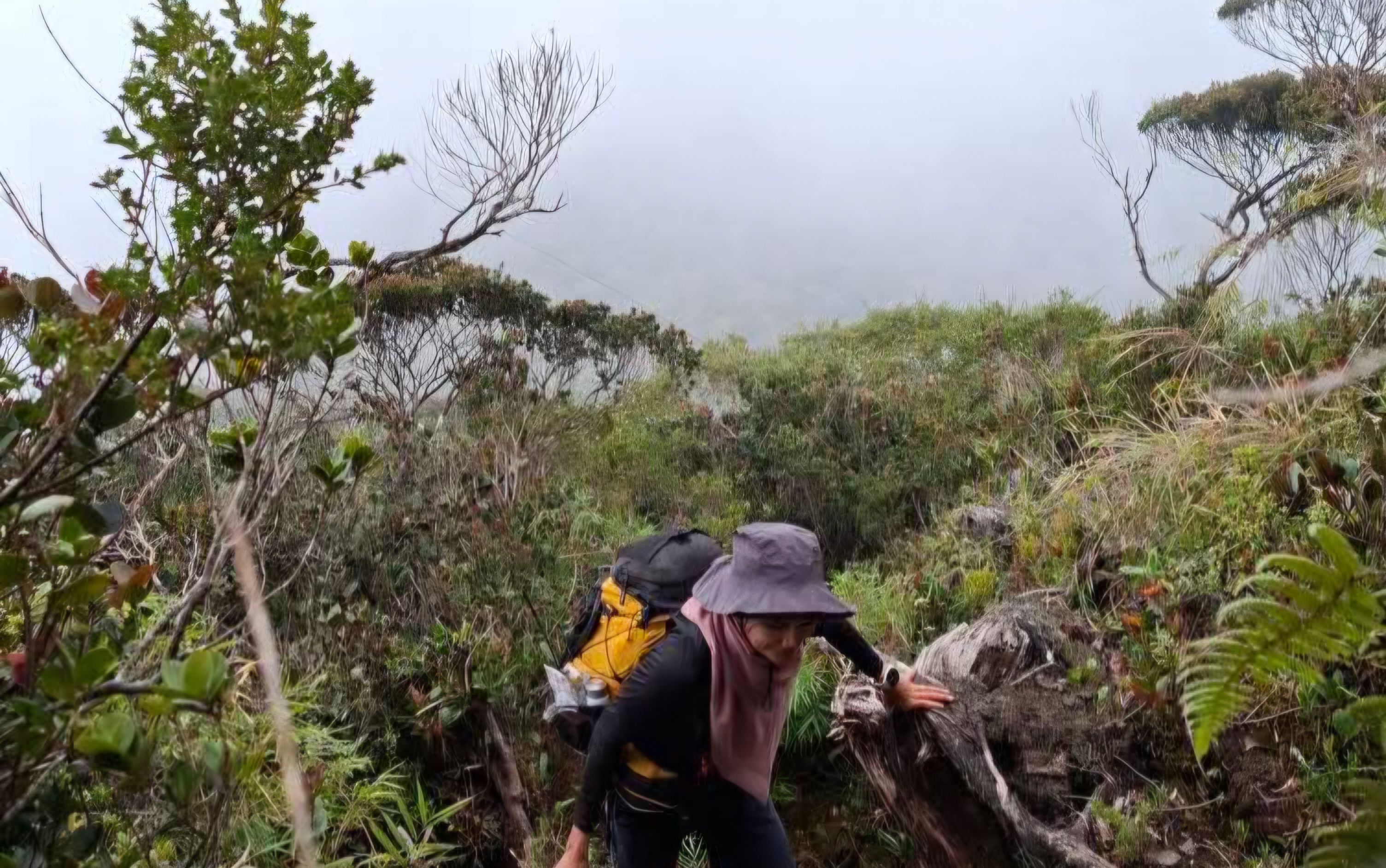
The first summit features continuous climbing through mature forest, offering a quiet and rarely travelled mountain experience away from popular hiking routes.
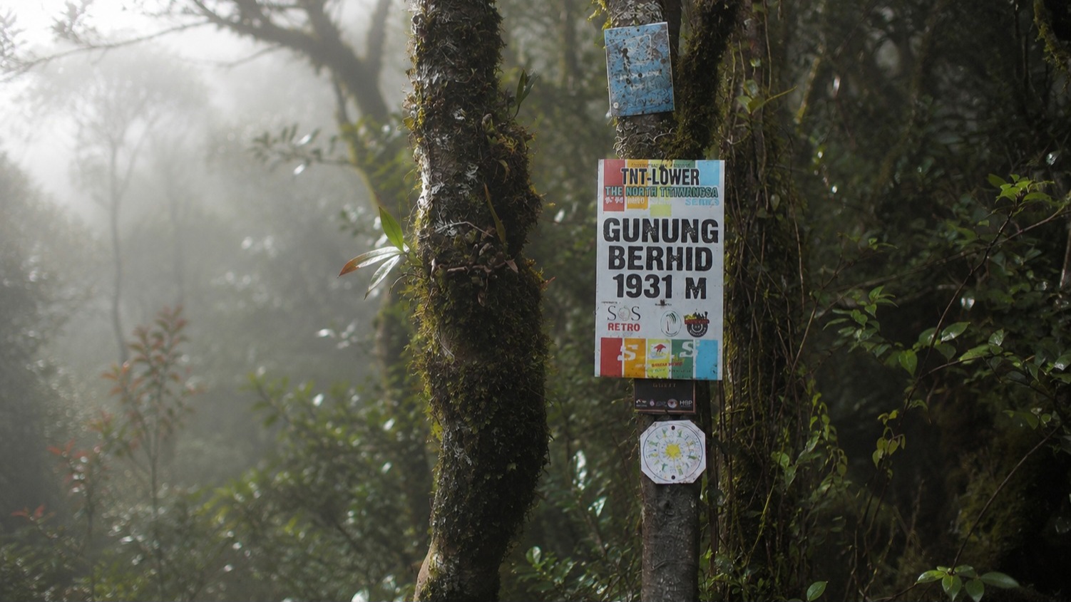
A connecting ridgeline links Berhid to Aler with several short climbs and descents beneath dense montane forest, creating an enjoyable twin-summit traverse.
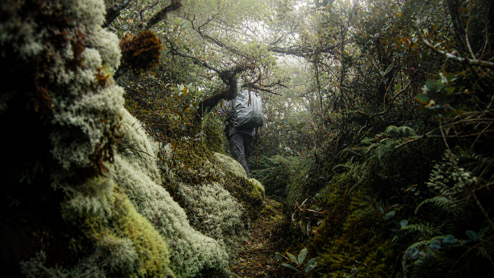
The second summit completes the expedition before retracing the same route back to Pos Tuel. The route is ideal for hikers seeking a rare mountain objective within a single day or a relaxed overnight adventure.
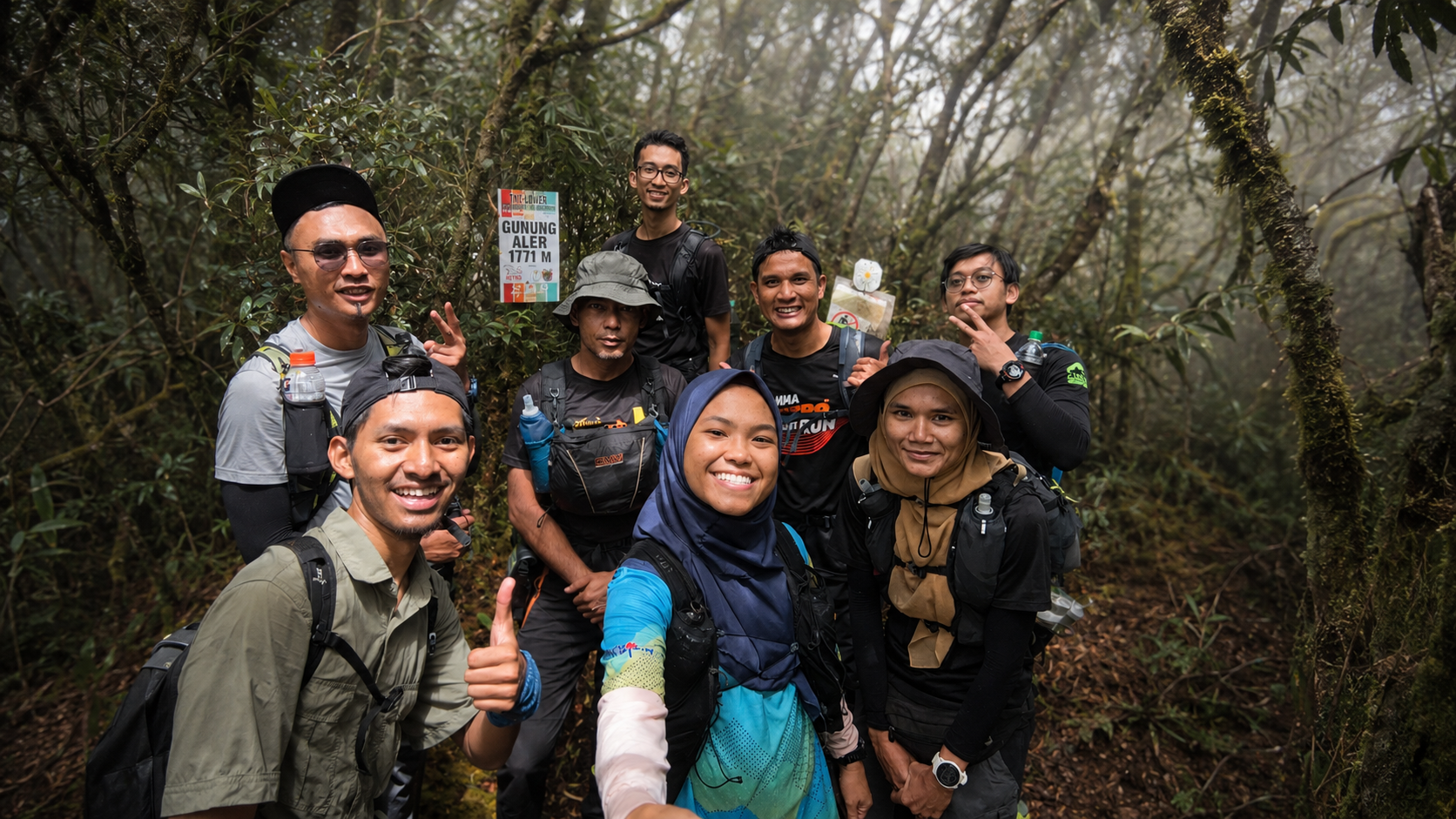
Experience the RAWPEAK Spine System across Malaysia’s central mountain range.
BOOK EXPEDITION